| |
History Of Brazos Bend State Park
|
 |
|
|
ABOUT THE PARK: Only 50 miles from downtown Houston, 4,897-acre Brazos Bend State
Park supports an abundant and diverse wildlife population. Most of the park is in the Brazos River
floodplains, but there are also areas of flat upland coastal prairies. Numerous swales and depressions
become freshwater marshes during periods of heavy rain. In addition to the Brazos River, Big Creek
meanders diagonally across the park and is associated with sloughs, bayous and cutoff meanders called
oxbow lakes. Other lakes have been created by levees. The creek and riverbanks are lined with sycamore,
cottonwood, and black willow. Campsites and picnicking areas are located among huge moss-draped live
oaks, while trails run along the lakes and through bottomland hardwood forests of various types of
oaks and pecans.
|
|
HISTORY: Archeological materials show that prehistoric peoples visited this area,
possibly as early as 300 B.C. In early historical times, the Capoque band of the Karankawa Indians
roamed between the mouth of the Brazos River and Galveston Bay and may have traveled inland as far
as Brazos Bend. The last existence of the Karankawa tribes has been recorded to be around 1851.
Fifteen registered prehistoric and historic state archeological landmarks have been recorded within
the confines of the park. Ten prehistoric sites date back to Indian Archaic and Neo-American times,
and five historic sites relate to the historic period of early Anglo-American settlement. These
sites are not open to the public.
|
 |
 |
 |
|
|
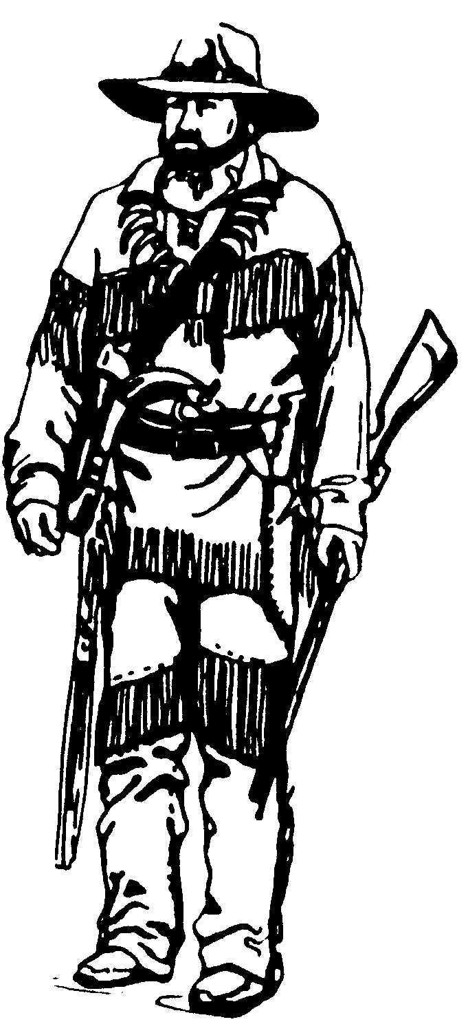
In the early 19th century, this area of Texas was the site of Stephen F.
Austin's first colonial land grant from Mexico, and present parkland was included in a
grant to Abner Harris and a partner named William Barrett in 1827. Most of the riverfront
was sold shortly after the Texas Revolution, and records show that in 1845 part of the
park and 2,400 feet of river frontage were in the hands of cotton brokers who lived in
Brazoria. At the time, the Brazos River was one of the principal routes of commerce, and
it may be that the brokerage firm of R. & D.G. Mills of Brazoria used the area for one
of their riverboat landings. Slaves of the cotton growers used handmade bricks to build a
cistern, which stills stands next to the current visitor center. It is possible that the
wagon road between Columbia (now West Columbia) and Richmond may have crossed the western
end of the property.
|
|
 |
|
For over half of the twentieth century, the land belonged to the Herman
Hale family and during that time was used for cattle grazing, pecan harvesting, and as a
private hunting preserve. In 1976 the land was purchased by the Texas Parks and
Wildlife Department, and Brazos Bend State Park was opened to the public in April of 1984.
|
|
Updated: Oct 14, 2019
|